Plan Requirements
The purpose of the Storm Water Control Plan is to specify how the built project will incorporate site design characteristics, landscape features, and BMPs that minimize imperviousness, retain or detain stormwater, slow runoff rates, and reduce pollutants in post-development runoff. The Stormwater Control Plan must incorporate measures to treat stormwater runoff before it is discharged from the site; these treatment facilities must be designed to minimum criteria specified by the Storm Water Design Manual. The Storm Water Control Plan must also identify responsibility and a mechanism to ensure maintenance of the treatment facilities in perpetuity. Development of a Storm Water Control Plan must be coordinated and integrated with preparation of the site layout, landscaping, and drainage. The Stormwater Control Plan is separate from, and in addition to, a storm water pollution prevention plan which addresses requirements for erosion and sediment control and for pollution prevention measures during construction. The following items are storm water specific and do not reflect that of other department requirements
To contact your plan reviewer click here.
The Plan Package
The major components of the plan package for storm water review consists of:
- Storm Water Report
- DHEC Notice of Intent (Also used for Horry County permit application)
- Storm Water Pollution Prevention Plan
- Permanent Maintenance Covenants
- Preliminary Plat
- Grading and Drainage Plan
- Erosion and Sediment Control Plan
- Landscape Plan
- Preliminary As-Built Plan (submitted prior to completion of asphalt and curb infrastructure on site and prior to proof roll inspection)
- As-Built Plan (submitted upon completion of all infrastructure on site and prior to final inspection)
- Stormwater Master Plan
- Stormwater Facility Maintenance
The Storm Water Report
A Stormwater Report must be submitted with the Notice of Intent permit application to document compliance with the Stormwater Management Standards. The following checklist is NOT a substitute for the Stormwater Report (which should provide more substantive and detailed information) but is offered here as a tool to help the applicant organize their Stormwater Management documentation for their Report and for the reviewer to assess this information in a consistent format. As noted in the Checklist, the Stormwater Report must contain the engineering computations and supporting information set forth in Horry County Storm Water Manual. The Stormwater Report must be prepared and certified by a Registered Professional Engineer (RPE) licensed in the state of South Carolina. The Stormwater Report must include:
Summary table which includes:
- Peak inflows, peak outflows, and max pond water surface elevations for the 2, 10, 25 and 100yr storms.
Narrative which includes:
- A brief narrative describing stormwater management practices.
- All elevations must be based on NAVD 88.
- NRCS soil identifications and characteristics
- Describe pre- and post-conditions and any flooding issues
- Describe topographic and soil conditions
- Upstream and down stream conditions (known flooding issues)
- Existing tail water elevations and any assumptions
- An analysis and details for any streams that may be affected or within ½ mile radius of a water body listed on the 303D DHEC list or if a TMDL is established. If the project does not fall into these criteria then this shall be clearly stated in the narrative.
- A general description of adjacent properties and existing structures located on surrounding properties.
- Site acreage also pond area in (Ac Ft)
- Narrative of 10% downstream analysis. Include pinch points and outfall conditions determining the effects from the project and any potential flooding.
- Anticipated start and completion dates.
- If using a feature which is sensitive to water table elevations state the water table elevation and the method of determination.
Maps included are:
- FEMA and Flood Zones
- Project location
- USGS quadrangle sheet (show project location, route runoff from site to nearest water body)
- Wetland permit or certification letter if required
- Map of 10% down stream analysis map with points of interest.
- Map to show off site drainage through or onto the site
Supporting documents included are:
- Lake maintenance agreement
- Off site temporary easement agreements for outfalls (may not be required)
- Adjacent property owner’s agreement for new point discharge onto adjacent property that was not previously natural (may not be required)
- If an infiltration system used: Geotechnical report with infiltration rates
Site Hydrology:
- Size of Areas (Acreage)
- Post-development is less than pre-development by 20% (for projects over 5 acres) Note: Post- vs pre-discharge rates are based on point discharges and not accumulative site discharge.
- CN designations calculated avg. or designation
- Soils information (type, special characteristics, perk rate if a perk system is used, water table if dry pond is used)
- Proper rainfall intensities used for 2, 10, 25, 100 yr storms – Use NOAA 14 charts (Click Here)
- Correct Peaking factors used (256 pre, and 323 post)
- Volume Hydrographs for SCS 24 hr
- 10, 25, 100 yr peak inflow/outflow and max water elevation of ponds (note on drawing as well)
- Drainage nodes
- Provide Basin and node map
- Design calculations for culverts and storm sewers
- Design calculations, cross sections and method of stabilization of existing and planned channels (include temporary linings) 10 yr storm velocities of 5fps
- Design calculations and construction details of energy dissipaters below culverts and storm sewer outlets (for rip-rap aprons, include stone sizes (diameters) and apron dimensions)
- Tail water conditions (elevations of outfall ditch match and tail water condition should reflect an existing 25 yr event in the ditch if using a static condition)
- Water Quality Calculations for sediment basins and/or other construction site BMPs
- Water Quality Calculations for post-construction BMPs
- 10% downstream analysis
The Stormwater Management Report shall document compliance with each of the Stormwater Management Standards as provided in the Horry County Stormwater Manual and Horry County ordinances.
NOI Information
This form can be filled out online at the DHEC website by following this link. A mapping tool for assisting with NOI completion may be found here. Please submit a copy of this form along with the other documents as part of the Plans Package.
Also, complete and submit the DHEC Plan Review Checklist when submitting the plan package.
For a list of SC DHEC Stormwater Design Aids and Technical Documents, click here.
Storm Water Pollution Prevention Plan (SWPPP)
A Storm Water Pollution Prevention Plan (SWPPP) identifies structural and non-structural controls that will be put in place to minimize negative impacts, caused by offsite storm water discharges, to the environment. The purpose of these controls is to minimize erosion and run-off of pollutants and sediment. A SWPPP establishes procedures for minimizing the potential for pollutants to be carried away in storm water discharges. These procedures emphasize the use of Best Management Practices (BMPs) to provide the flexibility to address varying sources of pollutants. A SWPPP must describe the site characteristics and list the pollutants that could impact storm water quality. The plan must also identify pollution prevention measures designed to minimize the discharge of pollutant laden storm water. For a SWPPP template from SC DHEC, click here. The SWPPP is required to be onsite or readily accessible upon request. The Inspector will request this document during inspections to verify it is current. The SWPPP must include:
- Narrative
- Stormwater Management and Sediment Control
- Reporting forms and logs of inspections
- Sequence of construction
- Site features and sensitive areas (Buffer zones)
- Sources of pollution
- BMPs
- Maps
- Engineering report
- Construction site plans
- Non-Numeric effluent limits
- Management of non-stormwater discharges
- (TMDL) Documentation of permit eligibility related to Total Maximum Daily Loads
Permanent Maintenance Covenants for Stormwater Practices
Permanent maintenance covenants for stormwater practices are to be recorded among the land records at the Horry County Register of Deeds. The document outlines the responsibilities of the property owner to properly maintain the stormwater practices. The document also allows the county permission to inspect the stormwater facilities and to communicate those findings to the property owner. The document also grants the county the opportunity to take necessary actions to correct any deficiencies in the event that the property owner fails to take such actions.
Preliminary / Final Plat
Preliminary / Final Plat is a plat with easements and legal boundaries. These plans include the following:
- All Easements labeled Public or Private
- Proper easement widths (check for both pipe and ditches)
- Pond maintenance easement
- Note: “All drainage easements shall be cleared and remain free of structures and obstructions.”
- Engineer's or Surveyor's Seal
- Wetland limits
- Ponds shall be located in Common areas rather than on individual lots in residential areas
Additional information may be required by the Stormwater Department as deemed necessary.
Grading And Drainage Plan
Site Plans (General observations)
- Engineers Seal
- Can each phase stand on its own hydraulically if no other phase is built?
- Size of Areas (Acreage)
- Adjoining lakes, streams, or other major drainage ways
- Existing and planned drainage patterns (include off-site areas that drain through project)
- Include Landscape Plan and check if it is encroaching on an easement.
- Note: "The land disturbing activity will be accomplished pursuant to the concept plan and the county has the right to conduct on-site inspections."
- Note: Final inspections will not be conducted until a final as-built has been submitted to the county.
- Show average bottom elevation, normal water level, 25-yr and 100-yr water level, top of bank elevation, area of storage in Acre-Feet on all ponds
- Average depth of pond
- Utility lines
- Directional arrows should be shown on the plan for each planned lot in the subdivision to show the drainage direction
- Trash racks and safety grates on weir structures
- Existing and proposed contours 25 feet outside of all property lines and further if county deems necessary for clarity.
- Show drainage flow patterns for sheet flow
- Show spot elevations for swales every 100 feet
- First floor elevation of proposed buildings
- Show all drainage lines with size, length, type, slope and invert elevations
- Show all catch basins and junction boxes with rim and invert elevations
General Information
- North arrow
- Scale (not to exceed 1:100)
- Property lines
- Legend
- Planned and existing buildings location and elevations
- Planned and existing roads location and elevations
- Lot and/or building numbers
- Limits and acreage of disturbed area
- Streams, lakes, ponds, drainage ways, dams
Storm Water Structure Details
- Show Pipe detail
- Show catch basin detail (frames fully supported on box wall or structural top.
- Provide detail of pond
- Outfall structure details with dimensions and design elevations
- Swale detail
- Ditch detail
- Note: All Structures are to meet SCDOT standards
- Emergency spillway detail
Drainage Profiles
- Profiles provided for the 25-yr HGL (starting tail water at 25-yr elevation and grades stay below the inlet grate)
- Provide pipe data (Slope, Type, Size, Length)
- Catch basin data (grate elevation, sump elevation, size of box, type of box, pipe inverts)
- Existing and proposed surface grade
- Length of pipes not to exceed 400 ft
- Provide profiles to show tops and toes for all ditches over 1 ft in depth
Additional information may be required by the Stormwater Department as deemed necessary.
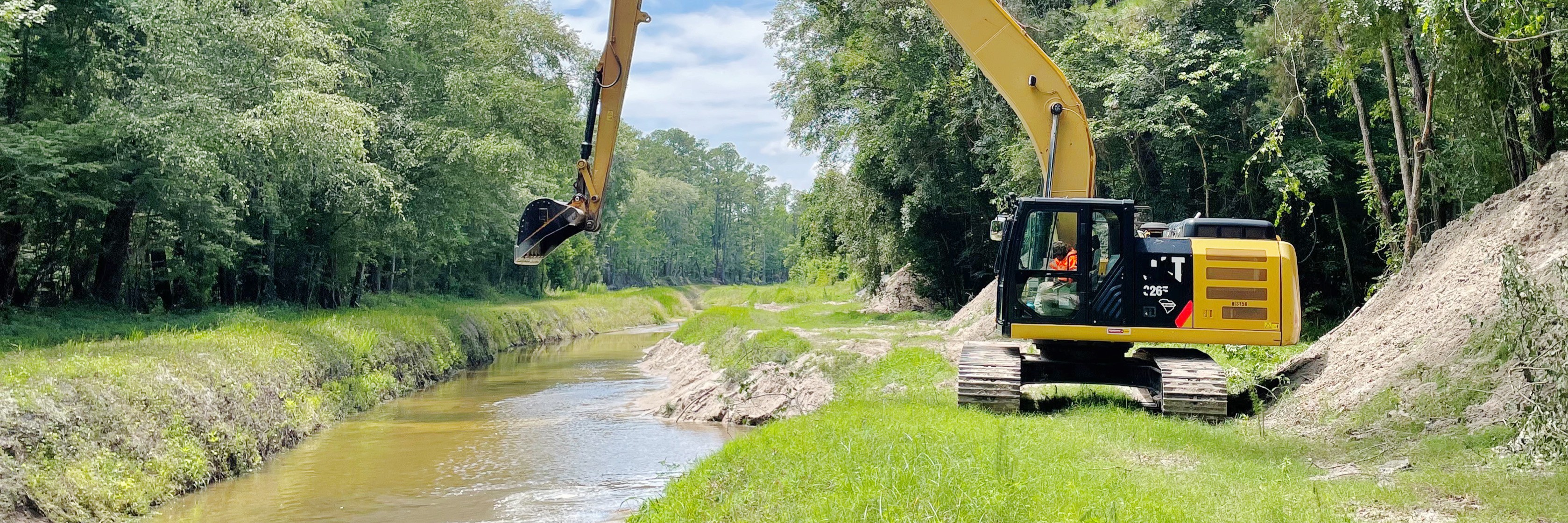
Sediment and Erosion Control Plan
Erosion Control Notes
- Standard Notes (OCRM) For a copy click here.
- Construction sequence related to sedimentation and erosion control
- Maintenance requirements during construction
- Person responsible for maintenance during construction and where records are kept
- Maintenance schedule, description and procedures for permanent structures
- As-built to be supplied to the county prior to final inspection (and certified by a either a PE or PLS in South Carolina)
- Must have the statement:” The land disturbing activity will be accomplished pursuant to the Stormwater Management Plan and the County has the right to conduct on-site inspections.”
Erosion Control Details
- Location of temporary and permanent measures
- Concrete wash out detail (locate the washout on the plans)
- Construction drawings and details for temporary and permanent measures
- Silt fence detail
- Construction entrance
- Wetland crossing details if used
- Provide details for dewatering onsite (ponds, inlets, and ditches)
- Provide Individual lot erosion control plan/detail
- Show spillway detail
- Stockpiled topsoil or subsoil location
Vegetative stabilization details
- Areas and acreage to be stabilized
- Requirements for temporary ground cover
- Planned vegetation with details of plants, seed, mulch, fertilizer
- Rates for seed, fertilizer and mulch
- Specifications for permanent and temporary vegetation
- Method of soil preparation
Additional information may be required by the Stormwater Department as deemed necessary.
Landscape Plan
- No landscaping or berms to be located in drainage easements
- No landscaping in swales
- Berms are to have a slope of 3:1 and be stabilized with vegetation
Additional information may be required by the Stormwater Department as deemed necessary.
Preliminary As-Built Plan Requirements
Prior to completing the installation of the asphalt and curbing and prior to a proof roll inspection scheduling a preliminary "as-built" plan signed and sealed by a professional registered in South Carolina shall be submitted to the Horry County Engineering Department for review and approval. The purpose of this plan is to ensure the pipe and catch basin structures are located in the proper place as well as installed at the proper elevations to avoid disturbance of a final finished product in the asphalt and curbing. In the as-built plan the registered professional shall state:
- The facilities have been constructed as shown on the Preliminary As-built Plan, and
- The facilities meet the approved Stormwater Management and Sediment Control Plan and specifications or achieve the function for which they were designed.
Also, the minimum information to be provided on the Preliminary As-built Plans shall include the following:
- Boundary, phase and lot lines.
- Lot numbers and street names.
- Drainage structures with elevations.
- Drainage pipes with size, material, length, slope and invert elevations.
- Ponds or lakes with average bottom, top of bank and water surface elevations.
- Acre-feet of storage provided
Additional information may be required by the Stormwater Department as deemed necessary.
As-Built Plan Requirements
Upon completing the installation of the stormwater management facilities included in the Stormwater Management and Sediment Control Plan, an "as-built" plan signed and sealed by a professional registered in South Carolina shall be submitted to the Horry County Engineering Department for review and approval. The as-built plan must be submitted prior to any final inspection scheduling. In the as-built plan the registered professional shall state:
- The facilities have been constructed as shown on the "as-built" plan, and
- The facilities meet the approved Stormwater Management and Sediment Control Plan and specifications or achieve the function for which they were designed.
Also, the minimum information to be provided on the "as-built" plans shall include the following:
- Boundary, phase and lot lines.
- Lot numbers and street names.
- Easements.
- Road locations with centerline stationing and curve data.
- Road centerline elevations at 100-foot intervals.
- Drainage structures with elevations.
- Drainage pipes with size, material, length, slope and invert elevations.
- Ponds or lakes with average bottom, top of bank and water surface elevations.
- 25-year and 100-year storm elevation of pond
- The Acre-feet of storage in a 25-year rain event
- Any control structures shall be shown in detail with key-way dimensions and stage elevations. If structure is off site include a note of its location.
- Drainage ditches and swales, with elevations at 100-foot intervals and critical locations.
- Recommended maintenance plan and schedule for drainage system components.
Additional information may be required by the County Engineer as deemed necessary to adequately document the condition of the road and drainage systems.
Stormwater Master Plan
For all development that have multiple phases, a Stormwater Master Plan that serves the entire development including future phases shall be submitted. The stormwater master plan shall include stormwater management structures and BMPs and supporting documentation. Also included are the supporting engineering calculations and results of any computer analysis, if necessary. The master plan can be a preliminary sketch of the site and shall contain the folllowing items, when applicable:
- Master subdivision or site layout showing buildings, roads, lots, parking areas, utilities, and grassed or landscaped areas
- Vicinity map
- Master Stormwater Report
The Stormwater Department reserves the right to require additional information.
Stormwater Facility Maintenance
The owner/operator or Homeowners Association (HOA) must record the Horry County Stormwater Practices Permanent Maintenance Covenants as part of the stormwater permitting process. For a copy, click here.